Date: 7/2/2024 - 7/6/2024
Current Status: open with some obstacles
Additional Details: Vehicle: 4x4 high roof Sprinter van
Route: Usal Rd to Usal Beach open with deep ruts in places. Rough and rutted but no problem for a lifted 4x4 Sprinter van. Passable with AWD, clearance may be an issue in spots but we saw Suburus and an Acura MDX AWD at Usal Beach. The first leg of the trail was a bit busy, but it was a holiday week. We arrived at Usal Beach around 4pm on 7/2, and though most of the campsites were already taken we were able to find a nice spot in the forest. No drinking water or services.
Usal Rd gate open. Usal beach to four corners was less traveled, rougher and tighter. After the gate is a steep climb with large ruts on the inside of the road against the mountain. Climbed in 4L and no issues, but keenly aware of the trail camber for the tall van. This leg was a bit rougher than the first leg, and much tighter. I used 4L a bit more. Expect pinstripes and a lot of scalping in a full size, tall vehicle.
Briceland Rd to Needle Rock, easy one-lane dirt road, 3.5 miles each way. There is a closed gate at the Needle Rock Visitor Center and only foot traffic is allowed further to Bear Harbor. Note that Briceland Rd is scheduled to be closed beginning August 6 for road repairs.
Tolkan CG was nice and uncrowded. Leaving Tolkan, we chose to take King Peak Rd instead of Saddle Mountain Rd. There were several shallow water crossings a couple inches deep, some were in short, deep gullies. High clearance and 4L served us well traversing some of the gullies. In spots there were large ruts to the inside of the trail making it off-camber towards the mountain (for a tall van). Some exposure, some rock gardens with small rocks and a few small shelves. King Peak Rd was the most difficult section of the route.
After King Peak Rd, we turned onto mostly-paved Wilder Ridge Rd through the forest and down the mountain to Honeydew, A.W. Way County Park and Mattole Beach. We camped at A.W. Way a nice campground on the Mattole River with clean bathrooms and water.
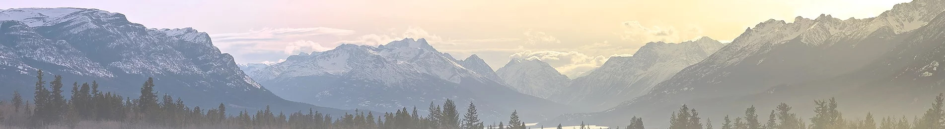
The road to Mattole Beach (Lighthouse Rd) is gravel with bits of washboard. On the way back, once you turn North off Lighthouse Rd towards Petrolia, the road is paved but in poor condition. It winds through Mattole valley and up and around to Ferndale. Though that portion is paved, it is not for the squeamish. The views more than make up for the road condition, just keep an eye out for pot-holes and wash-outs. From Ferndale we took Hwy 101 to Humboldt Redwoods State Park and there’s nothing to report except more beautiful scenery!
Notes: We filled up with diesel in Fort Bragg, and again at the Honeydew General Store, and it was more than enough fuel for the trip in the Sprinter, though we did not make it down to Shelter Cove. Also, we took King Peak Rd which is a different, shorter route between Tolkan and Honeydew (and maybe more challenging?). Bring cash or check for self-registration at campground iron rangers. Campsites ranged from $15-$30/night.